[download file=”http://www.rockerypress.com/wp-content/uploads/Laural-Day-Guide.pdf” title=”Laurel Day Guide”]
Enter your email address above, and we will automatically send you a link to download the Rockery Press Day Guide to Laurel Falls which includes driving & hiking directions and a full day’s worth of classic rock climbs to go do.
You can purchase the full Laurel guide by clicking HERE.
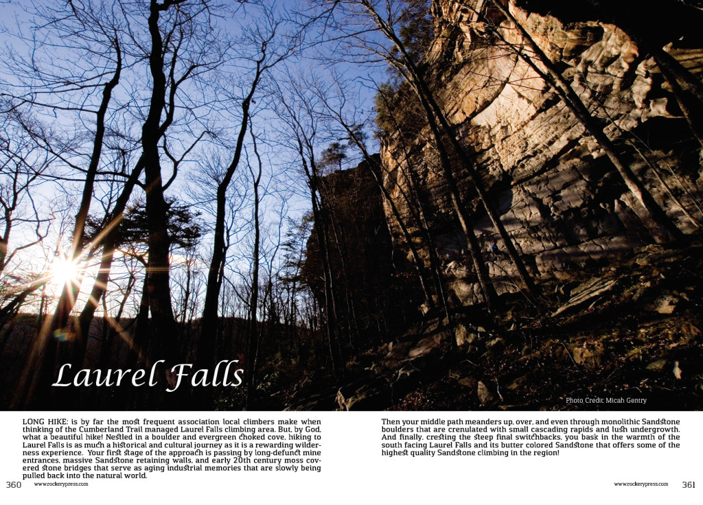
Long hike: is by far the most frequent association local climbers make when thinking of the Cumberland Trail managed Laurel Falls climbing area. But, by God, what a beautiful hike! Nestled in a boulder and evergreen choked cove, hiking to Laurel Falls is as much a historical and cultural journey as it is a rewarding wilderness experience. Your first stage of the approach is passing by long-defunct mine entrances, massive Sandstone retaining walls, and early 20th century moss covered stone bridges that serve as aging industrial memories that are slowly being pulled back into the natural world. Then your middle path meanders up, over, and even through monolithic Sandstone boulders that are crenulated with small cascading rapids and lush undergrowth. And finally, cresting the steep final switchbacks, you bask in the warmth of the south facing Laurel Falls and its butter colored Sandstone that offers some of the highest quality Sandstone climbing in the region!

